
DJI’s new drone system features a multispectral imaging system to gain insights into vegetation stress, soil composition, water salinity, contamination and more
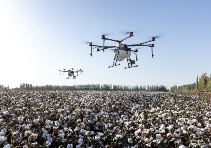
Image: DJI introduces new drone system for agriculture surveying. Photo: Courtesy of DJI-Agras/Pixabay.
DJI, a provider of civilian drones and aerial imaging technology, has introduced P4 Multispectral, a fully-integrated multispectral imaging drone designed for precision agriculture and environmental management.
The new P4 Multispectral combines data from six separate sensors to inspect the health of crops from individual plants to entire fields, along with weeds, insects and a variety of soil conditions.
P4 Multispectral offers farmers and agronomists a new tool to improve crop yields and cut costs. It can also support environmental professionals to easily monitor vegetation on the land they manage.
The drone features five narrow band sensors
The drone features a gimbal-stabilised imaging system composed of one RGB camera and a multispectral camera array with five narrow band sensors such as red edge and near-infrared, which are capable of capturing visible and invisible light.
The data can give trained professionals unique insights into vegetation stress, soil composition along with water salinity and contamination. An additional integrated spectral sunlight sensor can also maximise the accuracy and consistency of data collection during missions flown at different times of the day.
Images and videos taken by the drone are seamlessly integrated into DJI Ground Station Pro flight planning app allowing pilots to switch between real-time views of the drone’s RGB video camera and Normalized Difference Vegetation Index (NDVI) output for immediate insights while in the field.
The integrated RTK positioning module and TimeSync system support real-time, accurate positioning data for each image, optimising photogrammetric results and providing centimetre-level accurate measurements.
DJI strategic partnerships director Jan Gasparic said: “P4 Multispectral has the promise to transform the agriculture and land management industries by collecting precise plant-level data without having to send personnel into the field for manual surveys.
“By combining multispectral imaging into a trusted, efficient and affordable tool, DJI is making this transformative technology more accessible to professionals around the world who are pioneering the adoption of drones in their industries.”
DJI claims that its new drone system is compatible with standard industry workflows including flight programming, mapping, and analytics software from DJI and other providers. With DJI GS Pro application, users can create automated and repeatable missions including flight planning, mission execution and flight data management.
Such collected data can also be easily imported into DJI Terra or a suite of third-party software such as Pix4D Mapper and DroneDeploy, for analysis and to generate additional vegetation index maps.